WARQA (Environmental Satellite)

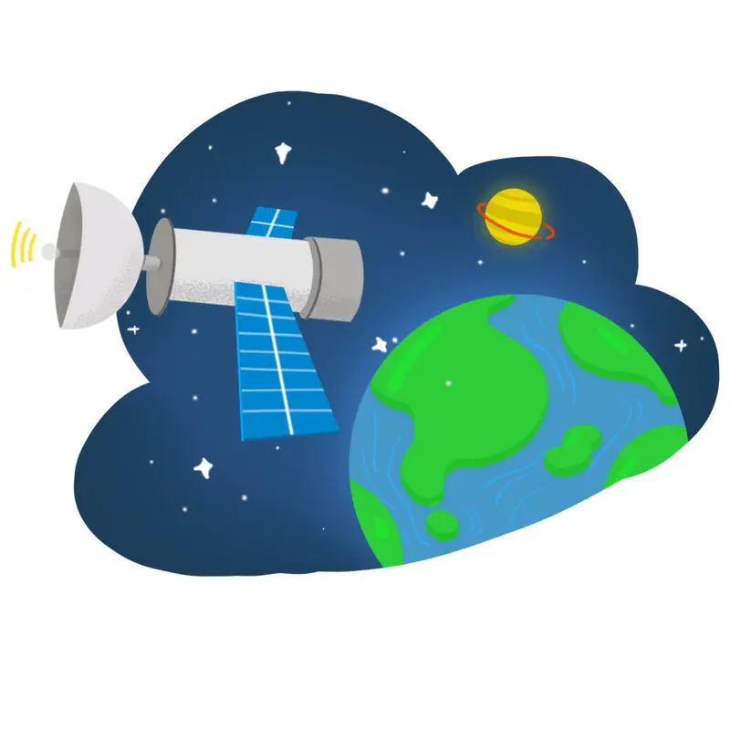
WARQA Satellite: Innovation Meets Insight.

Ecosystem Insights

In today’s rapidly changing world, having precise and timely information about your ecosystems is crucial. WARQA stands at the forefront of environmental innovation, harnessing satellite technology and advanced machine learning to provide unparalleled insights. Our platform delivers actionable data that empowers you to make swift, informed decisions, optimize operations, and accelerate your sustainability goals, ensuring you stay ahead of environmental changes and challenges.
34

Transform Your Environmental Management

aa
Comprehensive Ecosystem Monitoring

Gain real-time insights into vegetation health, soil erosion, and species distribution.

a
Data-Driven Decision Making

Leverage advanced analytics to optimize resource allocation and improve outcomes.

aaa
Policy
Support

Inform strategic planning and policy development with accurate and timely data.

aaaa
Precision
Restoration

Utilize our aerial seeding technology for efficient and effective land rehabilitation
.

How WARQA Works

1

Data Collection

Our satellite captures high-resolution images and data.
2

Advanced Analytics

Our machine learning algorithms process data to deliver actionable insights.
3

Ecosystem Insights

Gain a comprehensive understanding of your ecosystem's health and performance.
4

Informed Decisions

Make data-driven decisions to optimise your environmental management strategies.

Key Benefits

Unparalleled data accuracy

Real-time
insights

Cost-effective solutions

Improved decision-making

Enhanced sustainability

About

WARQA offers a simple way to turn your natural assets into digital tokens, helping you tap into sustainable finance, compliance standards, and unimagined growth opportunities

WARQA Help
  • Help Center
  • WARQA Forums
  • Downloads
  • Site Map
WARQA lOCATION
  • Address info here